EXTREME TOURS
Activities

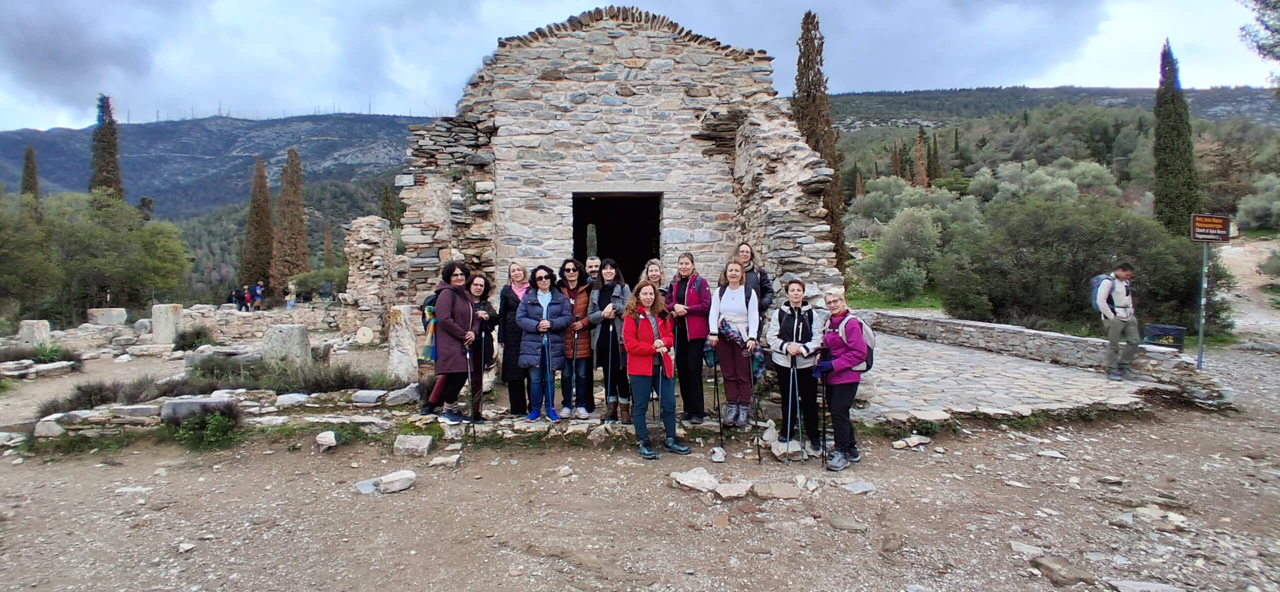
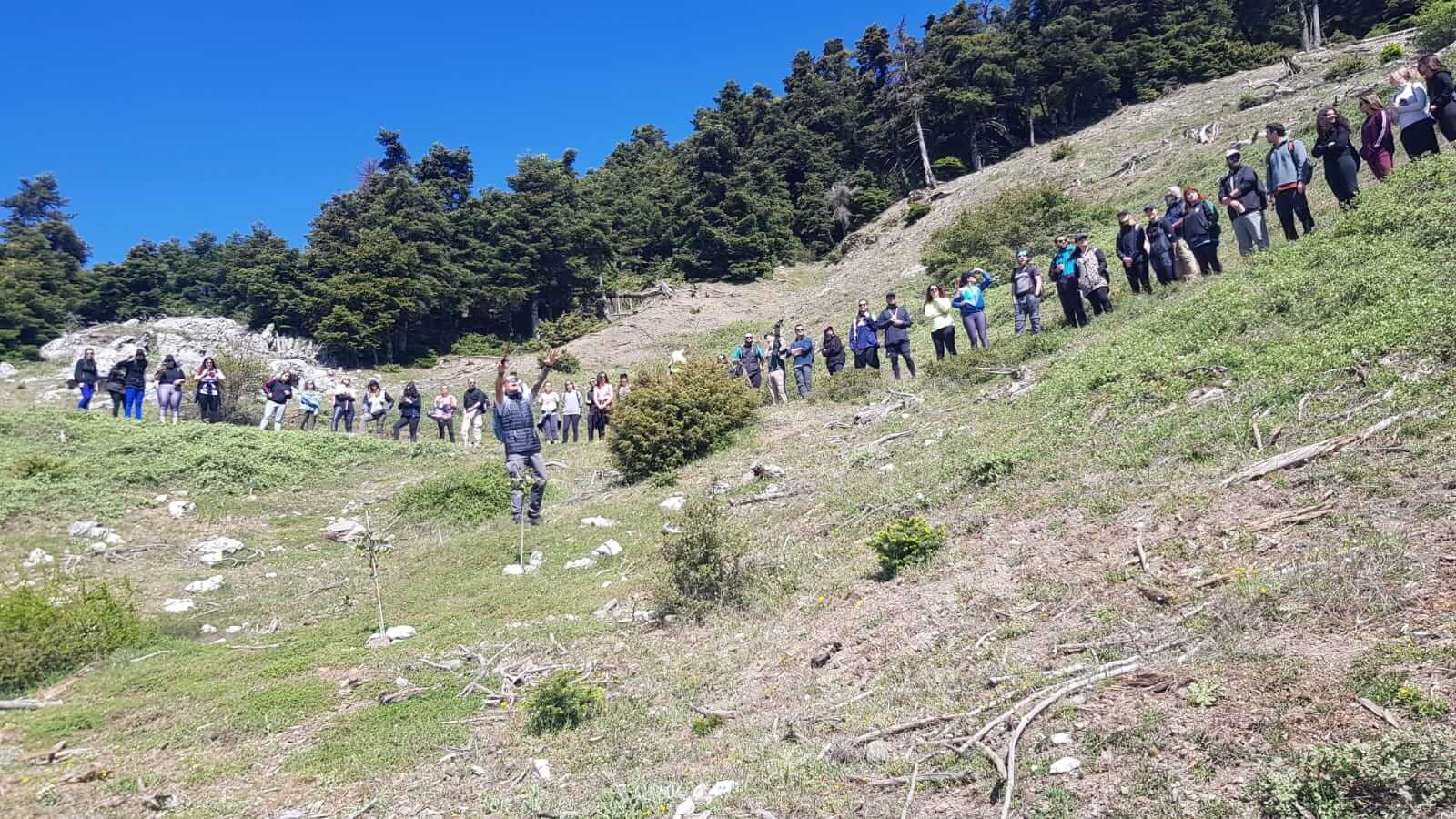
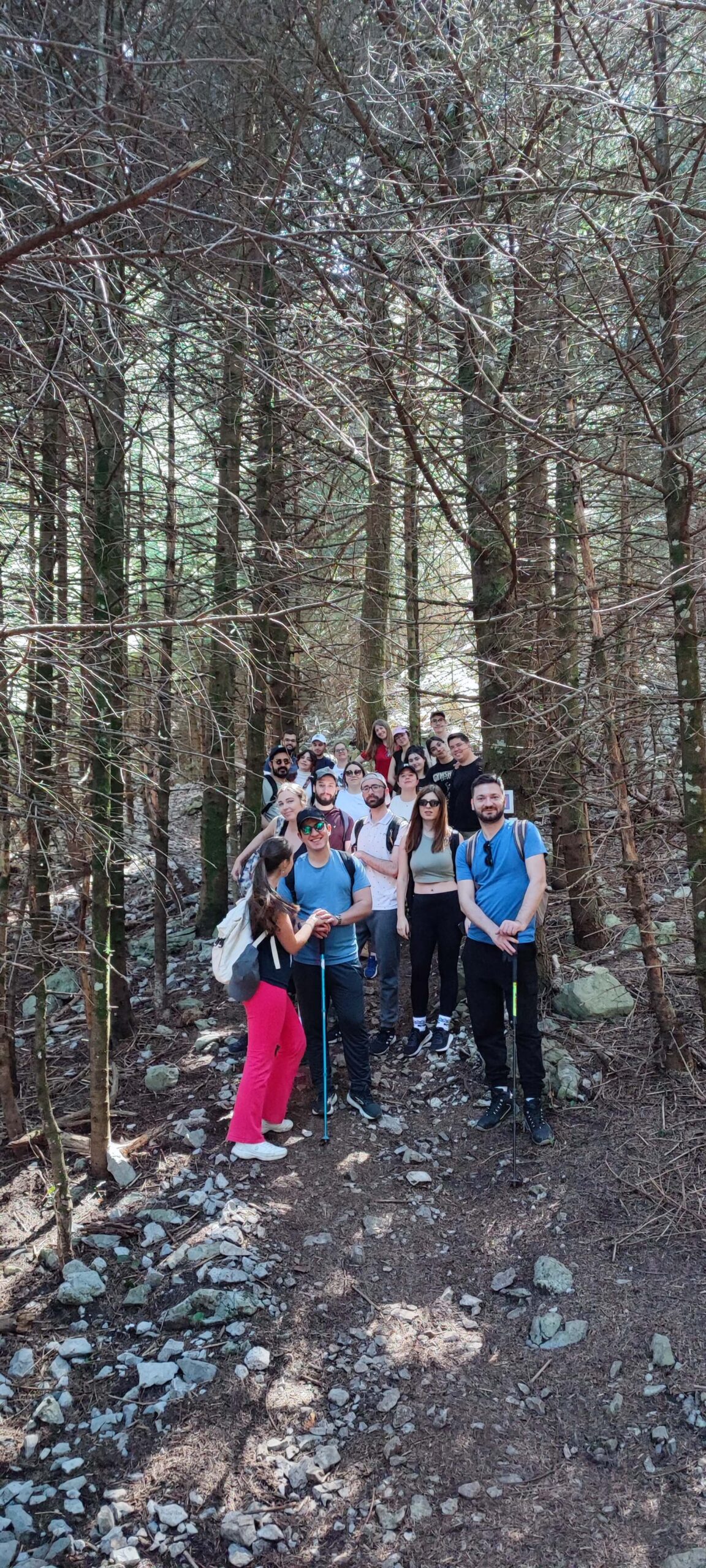
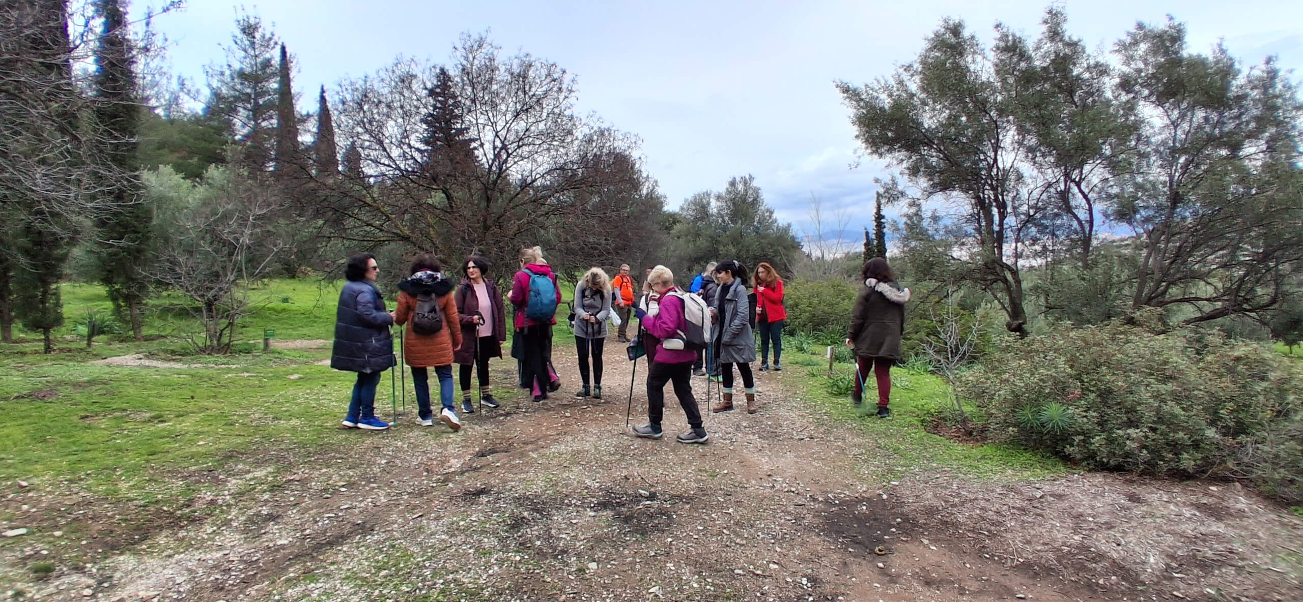
Hiking is one of the best ways to explore the natural beauty and diverse landscapes of Greece. From lush forests and mountain paths to dramatic gorges and scenic trails, hiking offers a unique opportunity to experience the country beyond the typical tourist routes. It is an activity that combines physical activity, exploration, and a deeper connection with nature.
Our hiking experiences are designed to suit all fitness levels and interests, whether you are looking for a relaxed walk in nature or a more challenging mountain adventure. Safety, local knowledge, and respect for the environment are always our top priorities, ensuring a high-quality and memorable experience.
At Extreme Tours, we specialize in creating customized hiking experiences based on your preferences. Get in touch with us to share your ideas, group size, and expectations, and we will design a hiking adventure tailored specifically for you—whether you are visiting Greece for the first time or seeking a new outdoor challenge.

Title

Title

Title
Title
Title
Title

Title

Title

Title
Title

Title